Hutchinson's Docks
Hutchinson's Docks
HER Number
2865
District
Sunderland
Site Name
Hutchinson's Docks
Place
Bishopwearmouth
Map Sheet
NZ45NW
Class
Maritime
Site Type: Broad
Dock and Harbour Installation
Site Type: Specific
Dock
General Period
POST MEDIEVAL
Specific Period
Hanoverian 1714 to 1837
Form of Evidence
Documentary Evidence
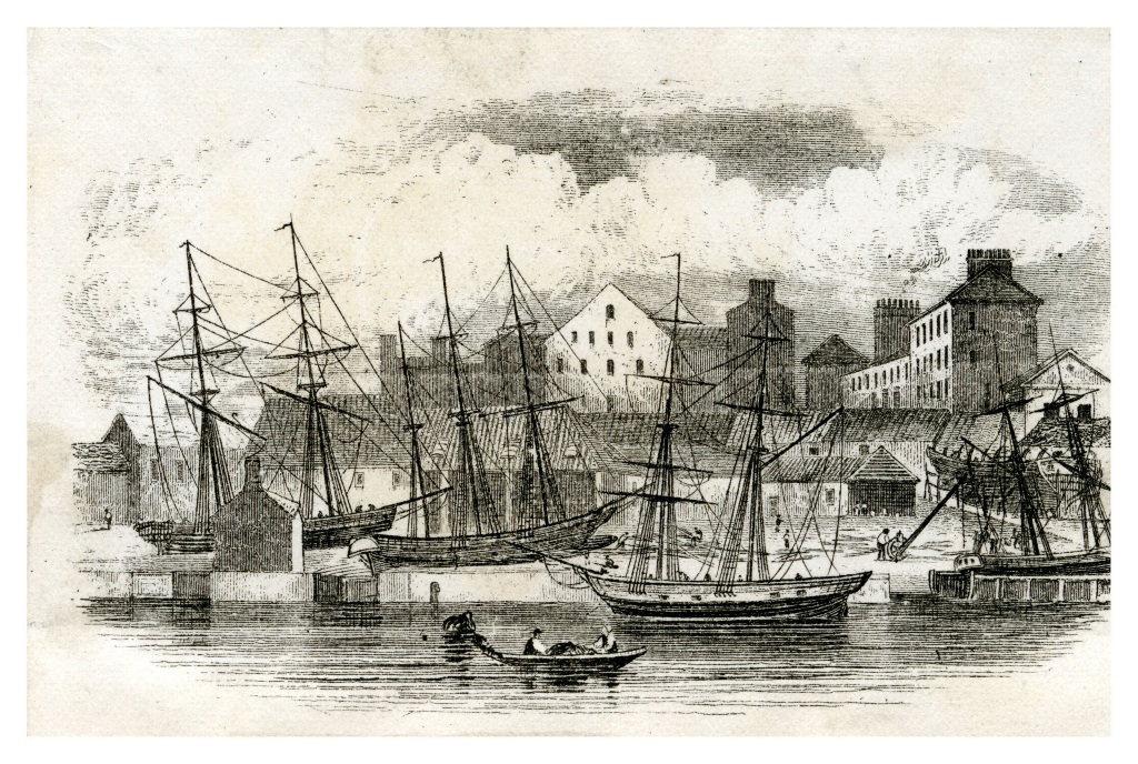
Description
Hutchinson’s Docks at Bishopwearmouth Panns on the southern shore of the River Wear are shown on Wood’s 1826 plan of Sunderland. The yard lies to the north of Low Street, to the west of two small shipbuilding yards (HER ref. No. 2866). The 3 graving docks within Hutchinson’s Yard run at right angles from the riverside but are rather irregular in form, and were possibly only tidal docks without gates. By 1855, and the 1st edition Ordnance Survey plan, the 3 docks shown by Wood remain, but now appear more regular in plan, probably indicating consolidation in stone, and all three are certainly gated. The Panns Brewery to the west had gone by this time, but it is not altogether clear whether Hutchinson’s Yard or another shipbuilder had taken over this area. By the end of the century the picture as shown on the 2nd edition Ordnance survey had changed as a result of the acquisition of the site by S P Austin. The two western graving docks have entirely gone and only the northern half of the eastern graving dock remains. The site is shown as empty apart from a few minor structures. Today, little evidence for any shipbuilding activity survives in the area.
Easting
440070
Northing
557400
Grid Reference
NZ440070557400
Sources
<< HER 2865 >> 1st edition Ordnance Survey Map, c.1855, 6 inch scale, Durham, 8
The Archaeological Practice, 2002, Shipbuilding on Tyne and Wear - Prehistory to Present. Tyne & Wear Historic Environment Record.
The Archaeological Practice, 2002, Shipbuilding on Tyne and Wear - Prehistory to Present. Tyne & Wear Historic Environment Record.