Elswick Mill (Sinton's Mill)
Elswick Mill (Sinton's Mill)
HER Number
4097
District
Newcastle
Site Name
Elswick Mill (Sinton's Mill)
Place
Elswick
Map Sheet
NZ26SW
Class
Industrial
Site Type: Broad
Power Generation Site
Site Type: Specific
Windmill
General Period
POST MEDIEVAL
Specific Period
Stuart 1603 to 1714
Form of Evidence
Documentary Evidence
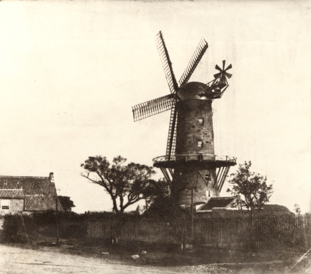
Description
Elswick Mill (Corn). This is not shown on the 2nd edition OS mapping, so was probably out of use by 1895. A corn mill stood on this site from at least 1638. A windmill is shown at this location on Horsley's plan of 1732. On Isaac Thompson's survey of 1743 the lane running south from Westgate Road on which the windmill is located is called Mill Lane. The mill was damaged in the great storm of 1839 and had been partly demolished by 1889. Known as Sinton's Mill.
Easting
423100
Northing
564350
Grid Reference
NZ423100564350
Sources
<< HER 4097 >> 1st edition Ordnance Survey Map, 1864, 6 inch scale, Northumberland, 97; Horsley, 1732; I. Thompson, 1743, Proceedings of the Society of Antiquaries of Newcastle, 4; F. Manders, Newcastle upon Tyne - A Selection of the Earliest Photographs