Blaydon Burn, lead wharf
Blaydon Burn, lead wharf
HER Number
8469
District
Gateshead
Site Name
Blaydon Burn, lead wharf
Place
Blaydon Burn
Map Sheet
NZ16SE
Class
Transport
Site Type: Broad
Water Transport Site
Site Type: Specific
River Wharf
General Period
POST MEDIEVAL
Specific Period
Hanoverian 1714 to 1837
Form of Evidence
Documentary Evidence
Description
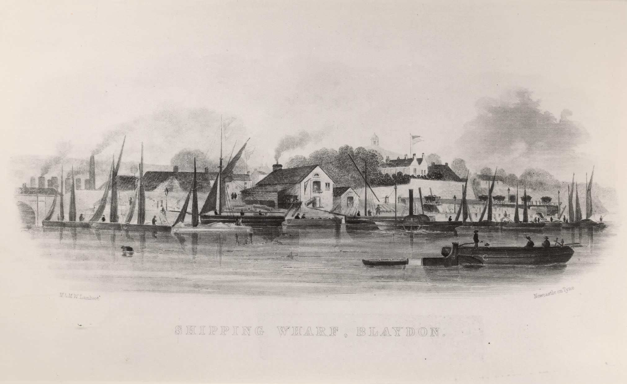
The terminus of the 1713 remodelled Brockwell Way was at Lord WiddringtonŌĆÖs ŌĆśShipcoale StaithsŌĆÖ, described as four keelrooms at the west end of Stella staithrooms [Clavering et al, 60]. Shipcoal was good quality coal destined for the London market. A branch of the Brockwell Way, using part of the earlier Winlaton Way through Horsecrofts, led to two staiths in Blaydon called ŌĆśthe panncoal StaithroomesŌĆÖ. Pancoal was later called ŌĆśduffŌĆÖ or ŌĆśslackŌĆÖ, and was used to fuel the extensive saltpans at North and South Shields.
Joseph Cowen & Co. used Blaydon Burn Staith, which actually lay in Stella Township. Bricks were put into open sided crates at the works and carried on flat wagons to the staith, until 1936 when the new bridge was built this involved crossing the main Blaydon to Ryton road at ŌĆśCowenŌĆÖs CrossingŌĆÖ (107). At the staith, fireclay goods were loaded onto the firmŌĆÖs own boats and taken by river for delivery to local firms. In 1899 the loading involved eight men, who had a crane to help with the ŌĆślumpsŌĆÖ [Davidson 148].
No visible remains.
Easting
418070
Northing
563610
Grid Reference
NZ418070563610
Sources
Northern Archaeological Associates & Northern Counties Archaeological Services, 2005, Blaydon Burn, Gateshead - Archaeological Desk Based Assessment and Building Survey of Industrial Structures