Tyne and Wear HER(4684): Ouseburn, Glasshouse Bridge - Details

4684
Newcastle
Ouseburn, Glasshouse Bridge
Ouseburn
NZ26SE
Transport
Bridge
Post Medieval
C17
Documentary Evidence
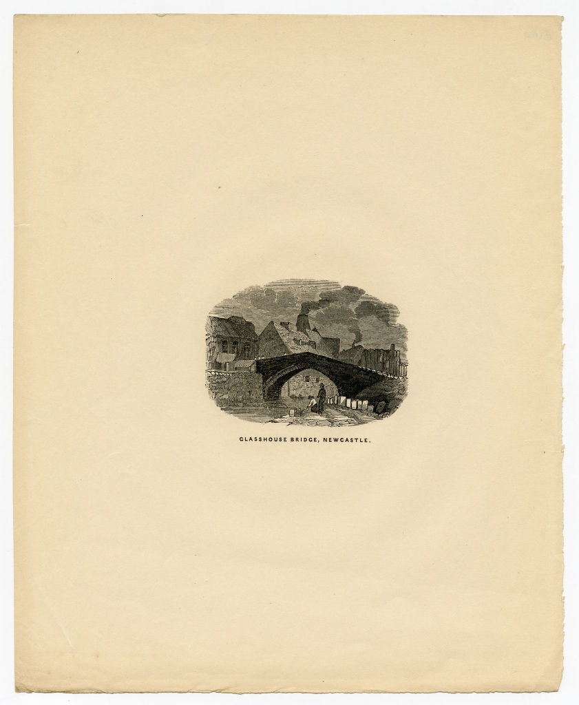
A stone bridge over the Ouseburn referred to as 'Glass House Bridge' is shown on Hutton's map of Newcastle, 1770. It is thought to have been built in 1609, and was rebuilt three times between 1619 and 1908 when it was finally demolished as the quayside was extended. It had already been superceded by the high level Glasshouse Bridge which lies some 50 metres to the north. The name 'Glasshouse' came from the numerous glass-making houses which were established on the east side of the Ouseburn mouth in the 17th and 18th centuries. According to Bourne it was built by Thomas Wrangham.
2645
6415
NZ26456415
<< HER 4684 >> Ove Arup & Partners, 1998, Lower Steenberg's Yard - Byker, Engineering Study
Hutton, 1770, Map of Newcastle
1st edition Ordnance Survey map, 1856
R.W. Rennison, 2002, Three Overlooked Bridges in Newcastle, Archaologia Aeliana, Series 5, Volume XXX, pp 163-171